Maps
Located in the heart of the Rocky Mountains, Granby sits at an elevation of 7,935 feet above sea level, and has grown from its roots as a logging and railroad community to be the perfect vacation destination. Once you arrive, it’s easy to find things to do, popular attractions to visit, and more with these maps.
Find your way downtown and along Agate Avenue, Granby’s Main Street, with our Downtown Granby map. You’ll find area attractions, a map of local murals, lodging, restaurants, and retail stores (along with other essentials like the library and post office).
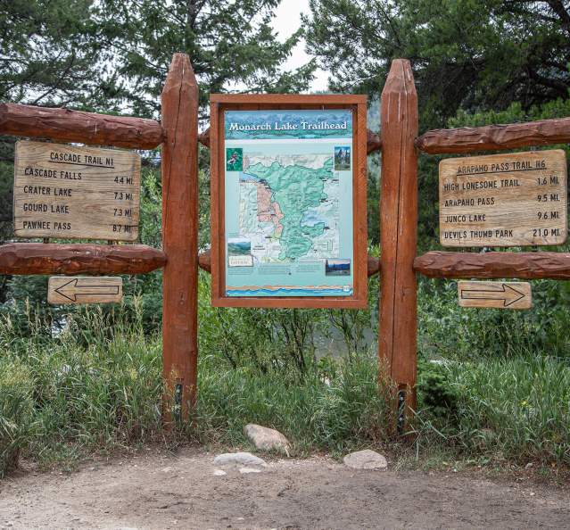
Explore the beauty of Granby’s natural setting with our Granby Area Trails map. This comprehensive map of all the trails in the area, including our favorite hiking and biking suggestions, will be a great help. In addition, you’ll find more lodging options, golf courses, museums, and other attractions. Plus, the map includes features along Lake Granby, so finding the perfect campground, picnic area, or boat launch is a breeze.
Granby Ranch Mountain Biking Map
Grand Lake Area Snowmobile Map
Transportation
If you’re looking for a destination with lots of outdoor recreation, wonderful dining options, excellent lodging variety, great weather, and plenty of mountain charm, you’ll want to visit Granby! We...
Lodging
From quaint cabins to sweeping guest ranches and everything in between, the Granby area has accommodations to suit your needs. Awake to breathtaking views before you start your day of hiking, fishing, biking,...
Weather
At an elevation of 7,935 feet above sea level, Granby will give you a true mountain experience. Granby boasts 250 days of sunshine each year, with 70-degree temperatures in the summer and nearly 200 inches of snow...


